

Operational
About this location
- Partner(s)
- Water NSW
- Station health
- CORSnet Sensor map
- CORSnet-NSW Release Date
- August 2017
- Station Code
- WGBA
- SCIMS Number
- TS 12288
- Receiver
- LEICA GR30
- Antenna
- LEIAR10 NONE
- Antenna Height (ARP)
- 0.00m
- IGS Site Log
- Geoscience Australia (FTP application needed)
- GNSS Site Manager
- Geoscience Australia (login needed)
GNSS Tracking Setting
| Status | |
|---|---|
| GPS | ON |
| L2C | ON |
| L5 | ON |
| GLONASS | ON |
| Galileo | ON |
| BeiDou | ON |
| QZSS | ON |
| SBAS | OFF |
CORSnet-NSW Coordinates for GDA2020
| Coordinates | |
|---|---|
| X | -4617725.6993 |
| Y | 2602193.6293 |
| Z | -3536103.0584 |
| Latitude | -33.886425 |
| Longitude | 150.59775 |
| Ellipsoidal height | 193.1 |
For Easting, Northing and height datum values please obtain them from SCIMS Online. For the source please see Reg13, and the Datum please see GDA2020.
GNSS Monitoring
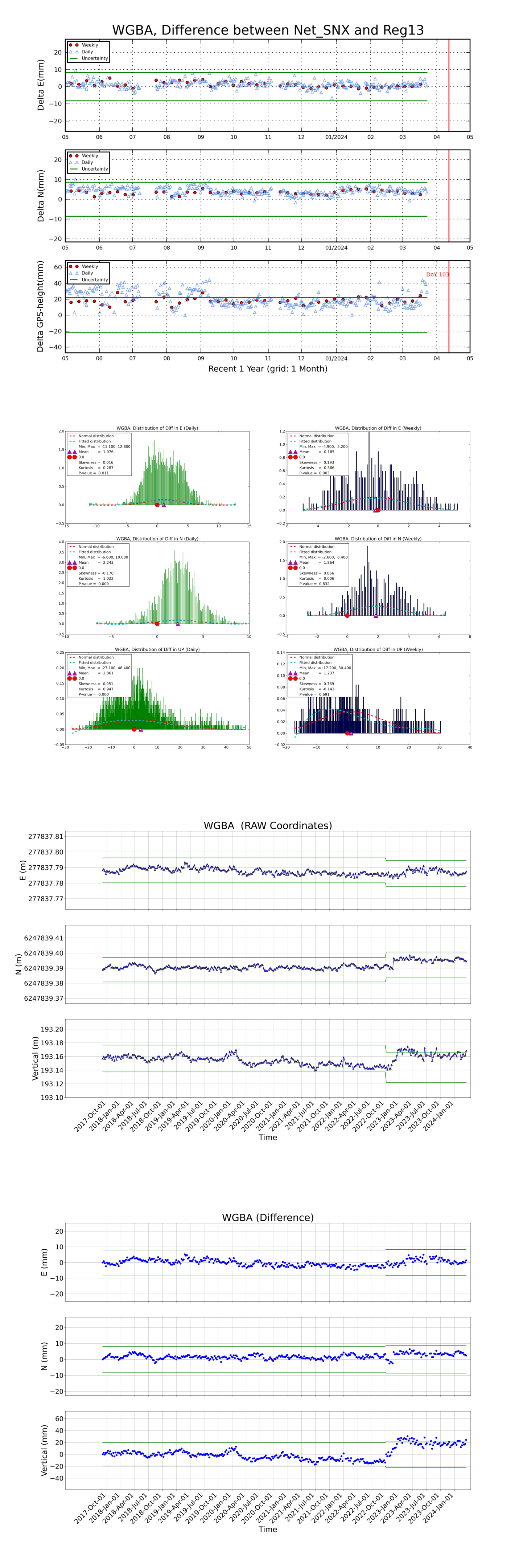
This work is licensed under a Creative Commons Attribution 4.0 International License. GNSS Monitoring Graph © Commonwealth of Australia (Geoscience Australia) 2020.
The above graph indicates the long-term stability of a CORS and does not represent actual daily movement. The results are calculated daily and trends are monitored. The diagrams shown are updated regularly. Daily differences in CORS position at the millimetre-level are within the limits (noise level) of current GNSS processing techniques.